
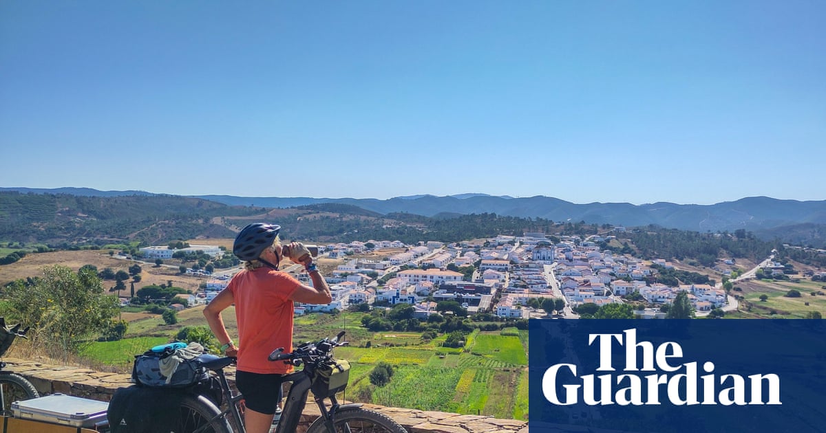
The Algarve is often associated with beaches and coastal tourism, but the interior of the region hides a heritage millions of years old, capable of revealing fundamental chapters in the planet's history.
This legacy has gained new prominence with the creation of the Geoparque Algarvensis, which in October will be officially recognized by UNESCO as a Global Geopark, extending across the municipalities of Silves, Loulé, and Albufeira.
In Silves, the project takes on special significance. The municipality, already known for its cultural and historical heritage, now becomes a privileged stage for valuing geodiversity, science, and sustainable tourism.
Did you know that in São Bartolomeu de Messines you can "see" volcanoes? This and other proposals are part of the "Rota do Mar à Rocha Vermelha" that we are highlighting.
Landscapes That Are Stone Books
The Algarve interior has unique richness, comparable to the best geological regions on the planet, as highlighted by Geopark technicians, and the municipality of Silves is a beautiful representative of this wealth, particularly the parish of São Bartolomeu de Messines.
The mountains and valleys of Silves preserve geological formations dating back hundreds of millions of years. Here you can find rare fossils and rock structures that testify to eras when the territory looked very different from today. For geologists and researchers, it's a true "open-air laboratory".
To protect these sites, the Municipality of Silves signed, on September 1, 2025, two collaboration agreements with property owners where geosites of classification interest were identified, in the Parish of São Bartolomeu de Messines, particularly at Monte de São José.
With these agreements, "the aim is to make known the geological heritage of the municipality of Silves, of great scientific value, and take a first step towards its classification."
This opens the possibility of visiting places that were previously inaccessible, showcasing sites of great geological relevance, and allowing their dissemination to both specialized audiences and the general public.
To this geological richness is added the historical richness of Silves, the ancient capital of the Algarve, dominated by the red sandstone castle and the natural wealth of Armação de Pêra, which the iconic Fortress protects.
Local traditions, agriculture, crafts, and gastronomy find in this project an opportunity to connect to a broader territorial valorization strategy.
Local communities are called to actively participate, reinforcing the idea that the Geopark is, above all, a project made by people for people.

Discovering Our Territory
As "saints at home don't perform miracles," it's likely that the average citizen, who has heard of the Geoparque Algarvensis, hasn't yet gone to discover this territory.
In the municipality of Silves, there are many points of interest and several routes already with signage. The most complete is called the "Do Mar à Rocha Vermelha" Route, linking marine landscapes to traces of volcanoes and ancient oceans, to the monuments of Silves, such as the Cathedral, the Castle, and the Municipal Museum of Archaeology.
Point 1 – Fortaleza de Armação de Pêra
Built by order of the captain from Lagos, João Galego (c.1610 – 1680), the Fortress of Santo António da Pedra da Galé was completed in 1667. Its builder had been captain of the Company of Seafarers in Vila Nova de Portimão, from where he moved, in 1660, to the fort of Santo António, located next to the fishing settlement of Pedra da Galé. Both the fortress and the hermitage were built at his expense. He held the position until his death, being replaced by his son and later by his grandson, all named João Galego.
The fortification aimed to provide protection, against corsair attacks, to the settlements of Alcantarilha and Pêra, as well as the tuna fishing operations launched in the bay.
The tsunami that followed the 1755 earthquake deeply devastated the fortress and the hermitage. Shortly after being rebuilt, the hermitage, with 32 m², features a single nave and rectangular plan, with a straight lintel portal and simple bell tower, consecrated to Santo António and also called Nossa Senhora dos Aflitos.
The monument was classified as a Property of Public Interest in 1978. In the 1960s, due to major collapses caused by strong sea agitation, particularly in 1963 and 1968, the DGEMN proceeded with its reconstruction. In 1977, the chapel was intervened. In 2013, restoration and consolidation works were carried out on the arch and adjacent walls. The genetic nucleus of the town, the Fortress, continues to be the symbol of the village of Armação de Pêra.

Point 2 – Lagoa dos Salgados – Tsunamito de 1755
The 1755 tsunami has been widely studied in the Algarve region, where it left marks both on land and at sea.
Three of these studies were conducted in the Algarvensis territory, analyzing sediments in the estuary of Ribeira de Quarteira and Ribeira de Alcantarilha, in Lagoa dos Salgados, and on the continental shelf. In Lagoa dos Salgados, researchers managed to determine the exact direction of the wave's entry into the site, which allowed estimating its maximum height, which was less than 10 meters.
Point 3 – Rios de Lava de São Bartolomeu de Messines
The volcanic rocks observed at this site, at Monte de São José, near the entrance to the town, next to the EN 124, are part of an important global volcanic episode called the Central Atlantic Magmatic Province (CAMP), and are approximately 201 million years old, coinciding with the beginning of the Jurassic period.
The CAMP was an episode of intense volcanism that, although short, expelled enormous volumes of lava and pyroclasts of basaltic composition. This is one of the best places to see these volcanic rocks and understand how they formed.

Point 4 – Continente Antigo de Vale Fuzeiros
The "Red Algarve," like the Castle of Silves, owes its color to the set of sediments called the "Silves Group." This sequence of reddish sediments was deposited during the Upper Triassic and Lower Jurassic (230 to 200 million years ago) in rivers, lakes, and lagoons of the only continent existing at the time, Pangea, which was beginning to break apart. Although the "Silves Group" is visible throughout the Algarve, in a narrow E-W oriented strip, its most complete sequence is found in the region of São Bartolomeu de Messines – Amorosa – Vale Fuzeiros.
The presence of vertebrate fossils, such as Metoposaurus algarvensis, phytosaurs, and placodonts, stands out. The Silves Group ends at the top with the Volcano-Sedimentary Complex, whose age is attributed to the base of the Lower Jurassic (201 million years).

Point 5 – Mar Antigo de Vale Fuzeiros
In the Algarve Mountains, the oldest rocks of the Algarve are found, dated to about 345 million years ago, from the Carboniferous period. The layers of laminated pelites and greywackes characteristic of the mountains accumulated at the bottom of an ancient ocean, called Rheic.
In Vale Fuzeiros, the Brejeira Formation outcrops, which is between 318 and 307 million years old (around the time when the first reptiles were beginning to appear!). Here, you can still see current marks, erosion structures at the base of the greywacke layers, and plant impressions, whose fragments were also transported by turbidity currents.
Fossils of goniatites (extinct species of marine mollusks with spiral shells) were also found in the Brejeira Formation, which help tell the story of a deep sea, swept by turbidity currents – a kind of underwater avalanches of mud and sand that descend along the continental slope towards the ocean floor. As deposits from these successive turbidity currents accumulated and were later compressed and heated, the schists and greywackes of the mountains formed.

Point 6 – Castelo de Silves
The former Islamic alcazaba is mentioned in historical sources from the 10th century. It has an irregular plan, is built in military rammed earth covered by blocks of Silves sandstone, consisting of ten towers, two of which are of the albarrã type. Access to the towers is through the wall walk, and entry into the property is through a double door with a gallery.
Inside, two water storage devices are observed, highlighting the Cistern, as well as silos and ruins of ancient palatial dwellings.

Other Routes and Points of Interest
For those who want to explore the Geoparque Algarvensis from Silves, there are already several support points and resources available:
- Cerro de São Miguel (Barrocal de Silves) – one of the high points of the territory, with stunning views over the mountains and the Algarve coast.
- Barragem do Arade and Vale do Arade – a space where nature, water, and geology meet, ideal for hiking and bird watching.
- Percurso da Via Algarviana (sections in Silves) – part of the great trail that crosses the Algarve, providing a journey through the mountainous interior.
- Abandoned quarry in São Marcos da Serra, where you can observe the boundary between the turbidites of the Mira Formation and the rocks of the Brejeira Formation. Also observed at this site is the valley formed by the São Marcos da Serra-Quarteira Fault, a huge fracture that crosses the rocks of the territory from northwest to southeast and separates the Serra do Caldeirão to the east from the Serra de Monchique.
- Monchique-Silves Geotrail (included sections) – an interpretive route linking the geological heritage of the mountains to the Silves area, with explanatory panels.
- Castelo de Silves, Sé de Silves, and Museu Municipal de Arqueologia – cultural points where human history dialogues with the geology that provided the raw material for the medieval city.
These routes and places allow visitors and residents to discover the territory in an integrated way, combining nature, culture, and science, always with a perspective of sustainable tourism.
All information about these routes and the territory can be found at the Silves Tourist Office, located at Praça do Município, or on the online platform of the Geoparque Algarvensis, which provides updated information on routes, events, educational visits, and ongoing projects (www.geoparquealgarvensis.pt).
The best way to get to know the Geopark is on foot, through the trails that cross the mountains and the barrocal, or on guided tours organized by local entities. For families, school groups, or occasional visitors, there are specific programs that allow diving into the geology, biodiversity, and culture of Silves.


Comments
Join Our Community
Sign up to share your thoughts, engage with others, and become part of our growing community.
No comments yet
Be the first to share your thoughts and start the conversation!