
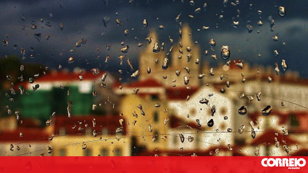
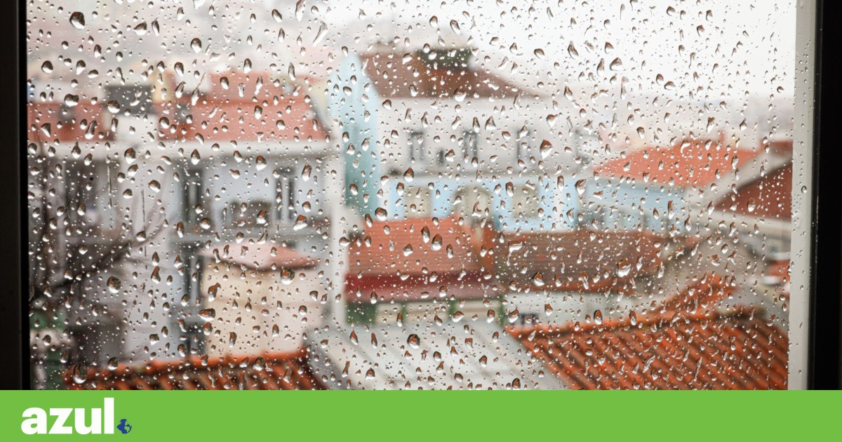
Severe Weather Update: The Garoe depression has brought significant rain and thunderstorms to Portugal, resulting in multiple weather alerts. This Wednesday, expect heavy rain, strong winds, and rough seas across the mainland. Although conditions will improve temporarily, another depression is forecasted to arrive on Saturday.

Image Source: Canva
According to the Portuguese Institute of Sea and Atmosphere (IPMA), the Garoe depression will continue to cause heavy rainfall until Wednesday, particularly affecting the mainland and Madeira archipelago. The weather is expected to deteriorate further with strong winds and maritime agitation.
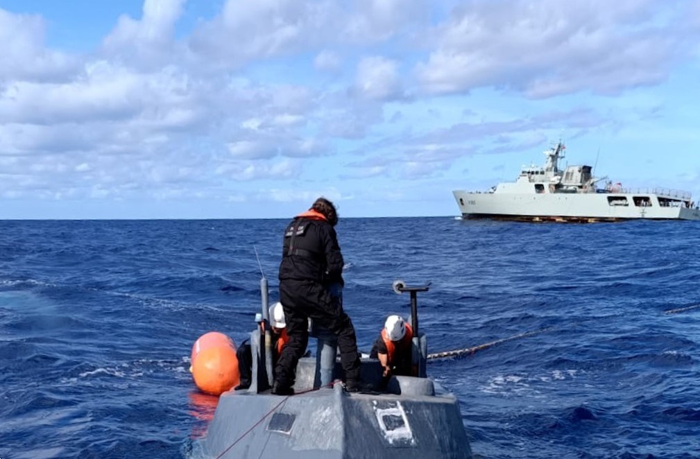
Wind gusts could reach 110 km/h, with sea waves potentially hitting 11 meters in height. Madeira has already reported 27 incidents, primarily involving fallen trees and landslides.
In mainland Portugal, rain will persist, possibly accompanied by thunderstorms or hail. Wind gusts may reach 75 km/h, and sea conditions are expected to worsen, with waves reaching 10 meters.
Almost all districts in mainland Portugal are under a yellow warning due to expected rainfall, with the exception of Guarda, Vila Real, and Bragança. Areas like Beja, Faro, Leiria, Lisbon, and Setúbal will experience an orange alert in the morning due to maritime conditions.
The IPMA has indicated that the Garoe depression is linked to an associated frontal system.
After Garoe... More Rain Ahead
While the weather is expected to ease after Wednesday, another depression is set to hit the mainland on Saturday. IPMA meteorologist Patrícia Marques stated that this new depression will affect the northern Iberian Peninsula, with rain beginning in Minho and Douro Litoral on the 25th and quickly spreading across the country.
“Expect more snowfall, increased maritime agitation, and stronger winds,” the meteorologist added.


Comments
Join Our Community
Sign up to share your thoughts, engage with others, and become part of our growing community.
No comments yet
Be the first to share your thoughts and start the conversation!