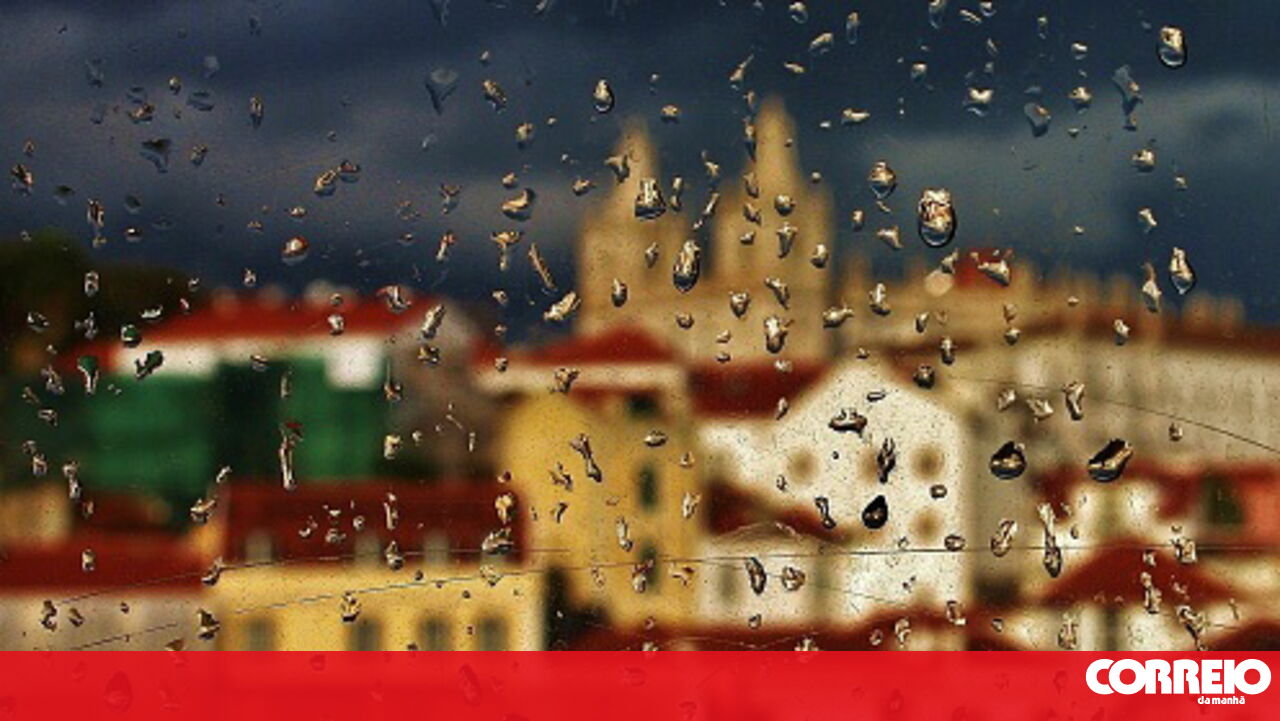
Severe Weather Warning for Mainland Portugal
A cold frontal surface of moderate to strong activity is set to cross mainland Portugal on Wednesday, bringing heavy rain, thunderstorms, and strong winds, the Portuguese Institute of the Sea and Atmosphere (IPMA) announced on Tuesday.
Widespread Orange and Yellow Alerts
The IPMA has issued orange warnings for precipitation and yellow warnings for thunderstorms across all continental districts except Bragança. Rainfall is expected to be "sometimes heavy and accompanied by thunder," particularly during the frontal passage and until late Wednesday morning.
Post-Frontal Conditions and Regional Impact
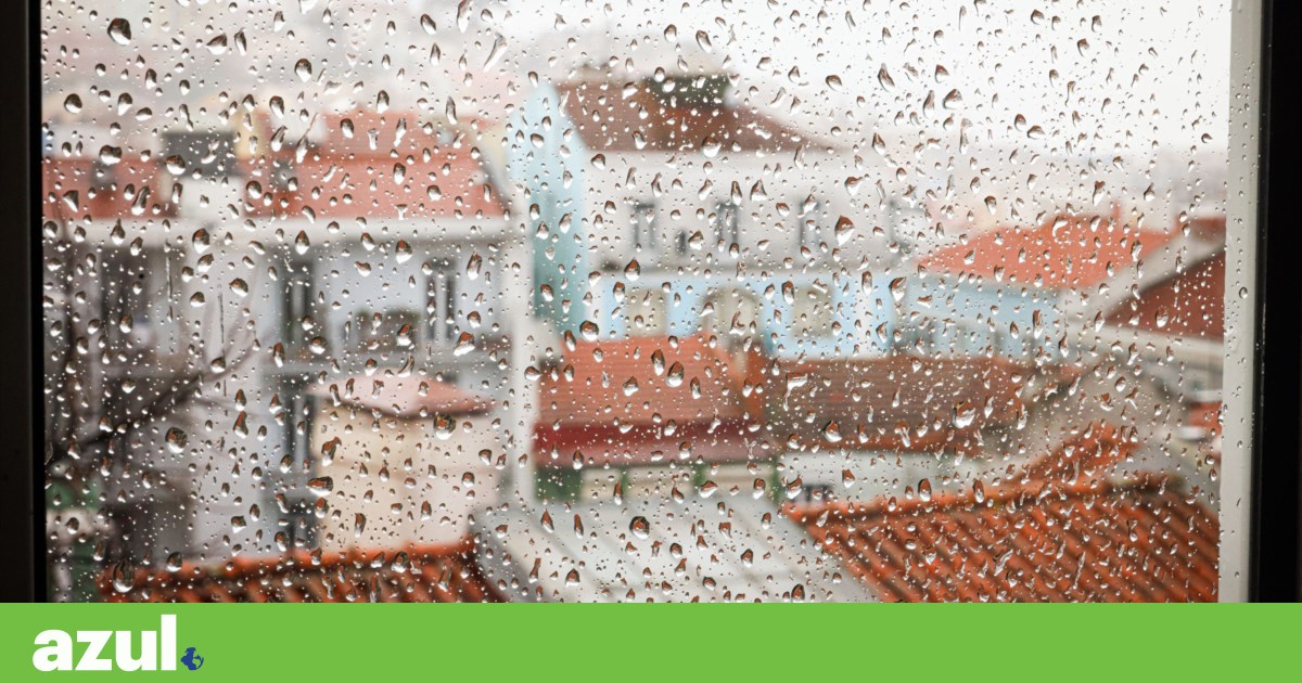
Gradually, from the afternoon onwards, with the post-frontal conditions, rain is expected to continue affecting the entire territory, though with greater intensity and frequency along the coast of the northern and central regions. During this period, conditions remain favorable for thunderstorms, and showers may include hail, especially in the mentioned regions.
Strong Winds and Gusts
Winds are forecast to be "strong," with gusts starting from the end of Tuesday. The most intense gusts are expected during the passage of the cold frontal surface, between Wednesday afternoon and Thursday morning. During the frontal passage, gusts could reach 80 km/h on the coast and 110 km/h in the highlands of the north and center, with yellow wind warnings in effect for these areas.
Increased Sea Swell
The IPMA also predicts an increase in sea swell on the west coast, with waves from the west quadrant of four to five meters, potentially reaching five to six meters between Wednesday night and Thursday dawn. An orange warning for sea swell has been issued for this period.
Detailed Warning Schedule
- Orange warning for sea swell on Thursday for the districts of Porto, Setúbal, Viana do Castelo, Lisbon, Leiria, Aveiro, Coimbra, and Braga, with waves from west/northwest expected to be five to six meters significant height, possibly reaching a maximum height of nine meters.
- Yellow warning for sea swell previously issued for Porto, Faro, Setúbal, Viana do Castelo, Lisbon, Leiria, Beja, Aveiro, Coimbra, and Braga from 21:00 today, with waves from west/southwest of four to five meters.
- Orange warning for rain for all continental districts except Bragança during Wednesday's early hours and morning, downgrading to yellow until Thursday dawn.
- Yellow warning for thunderstorms and extreme wind phenomena for all 17 districts during Wednesday's early hours and morning.
- Bragança district under yellow warning for heavy rain between 06:00 and 15:00 on Wednesday.
- Yellow wind warning from Tuesday night to Wednesday morning for Bragança, Viseu, Porto, Guarda, Vila Real, Viana do Castelo, Lisbon, Leiria, Castelo Branco, Aveiro, Coimbra, and Braga, with southerly gusts up to 80 km/h on the coast and 100 km/h in highlands.
IPMA Recommendations
The IPMA recommends monitoring updated weather forecasts and warnings at www.ipma.pt.
Note: Orange warnings indicate a moderate to high-risk meteorological situation, while yellow warnings signify a risk for certain weather-dependent activities.


Comments
Join Our Community
Sign up to share your thoughts, engage with others, and become part of our growing community.
No comments yet
Be the first to share your thoughts and start the conversation!